
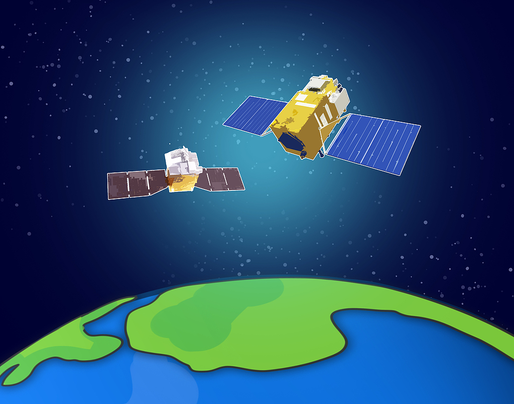
State Grid has taken another step into space-based grid management, announcing on March 26 that its Electric Power Engineering Satellite B successfully entered orbit. Together with two earlier launches — Electric Power Engineering Satellite A and Electric Power Infrared Satellite A — the company now has a three-satellite system dedicated to monitoring the power network, making a shift from manual ground inspection to a “space-to-earth” early warning system.
This trio of satellites represents a transition from relying on a single type of observation to a more rounded approach that combines optical, infrared and radar imaging.
Each satellite plays a distinct role. The optical satellite is best at identifying physical structures, the infrared satellite detects heat anomalies, and Satellite B uses radar to see through cloud and fog, allowing it to operate in all weather and at night. This helps fill the gaps left by optical and infrared systems, which can struggle in poor visibility. Together, the trio broadens what the grid can “see,” adding new layers of information.
The system is designed to work as a closed loop—combining data collection, analysis and decision-making—and points to a shift in how China manages its vast power network. Instead of relying mainly on manual inspections, the aim is to move toward earlier detection and proactive warnings based on satellite data.
Solving the extreme environment problem
That shift is becoming more urgent as the grid expands. Ultra-high-voltage transmission lines now stretch across difficult terrain, from mountainous regions in the southwest to desert-based renewable energy hubs. These networks cover long distances and face complex environmental conditions. Traditional inspections and general-purpose satellites often fall short, especially when fast, reliable data is needed in emergencies.
Satellite B is intended to address some of these gaps.
First, it can see more clearly: with a resolution of about half a metre, it can pick out small objects—roughly the size of a laptop—from around 500 km above Earth, making it easier to monitor towers and transmission lines in detail. Second, it can track subtle changes: by comparing repeated passes, it can detect tiny shifts in the ground, helping flag risks such as landslides or subsidence before they become serious. Third, it can speed up decisions: onboard AI allows it to process data in orbit and send back assessments within hours, cutting the time needed to respond to disasters.
While commercial remote sensing satellites are widely available, they often lack the revisit frequency and mission priority required for a national power grid’s rigid demand. Dedicated satellites, by contrast, offer more control and a steadier flow of data that are not subject to third-party scheduling — something State Grid sees as key to reshaping how it operates.
The company says it is already using satellite data across 17 scenarios, covering everything from planning and construction to inspections and disaster prevention. After three to five months of in-orbit testing, Satellite B is expected to enter service in June, with a focus on monitoring geological risks along transmission routes, tracking floods and landslides, and spotting issues such as ice build-up or encroaching vegetation—critical tasks ahead of peak summer demand and the flood season
Source:
5G and 6G (angmobile on WeChat)